
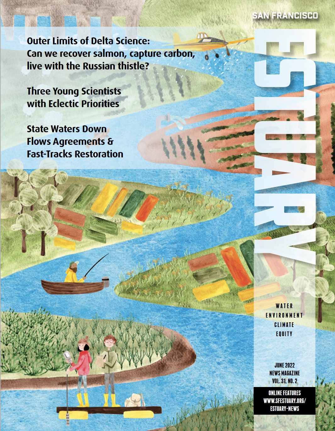
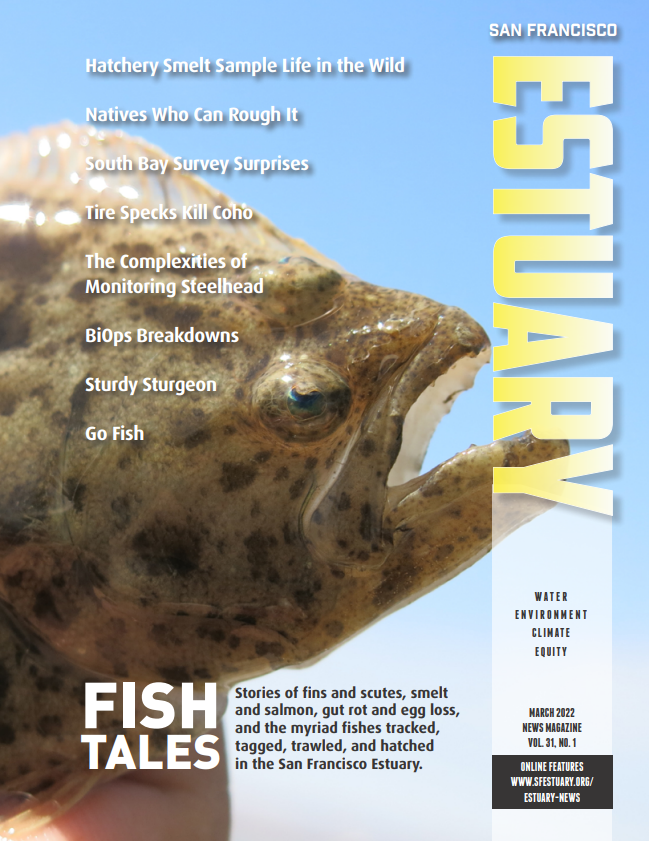
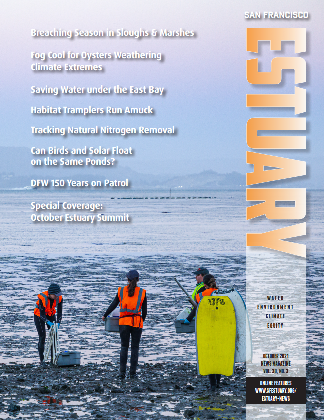
INSIDE
► Restoration Reflections: Voices, Videos, Editor’s Note
► Boots on the Bayshore: Bay Trail
► From Sticks to Satellites: Restoration 1960-2023
► Delta Restoration Baseline Revealed
► Wetland Restoration is for the Birds
► Setbacks and Swallows for the Sacramento River
► Saving a Species Struck by Systemic Oversights at Clear Lake
► Reconnecting Putah Creek with the Ocean
► Riding the Restoration Waves: My Estuarine Journey
► An Inclusive Vision for Bouldin Island
► Lookout Slough Restoration will be the Delta’s Largest Yet
► Suisun’s Working Landscapes Support Fish
► VA Agreement Highlights Habitat Questions
► Taking the Measure of Success at the South Bay Salt Ponds
► More Mud Please for Novato Baylands
► The Battle for Native Cordgrass
► Eroding Bayview Park Gets Heavy Lift
► A Steelhead Renaissance in San Mateo Creek

Magazine Features

Eroding Bayview Park Gets Heavy Lift
Carol Bach, who oversaw the restoration of a sliver of tidal wetlands on San Francisco’s industrialized shore in 1999, was alarmed to see her work eroding away decades later. Waves crossing the Bay from Hayward to Heron’s Head steadily carved away at this small peninsula of tidal habitat and public park favored by locals with few other options for waterfront recreation. The erosion was hard to miss: steep escarpments developed...

Taking the Measure of Success at the South Bay Salt Ponds
It is two decades now since some 23 square miles of South Bay salt evaporation ponds became public property. Eighty-eight old impoundments were to be remade into habitat for birds and other creatures—and into a superior flood-control buffer for communities beside the rising Bay. Progress since then has been slow, and fast. Slow, because relatively small swathes of territory have been visibly, obviously changed. Slow, because a whole set of...

From Sticks to Satellites: Restoration 1960-2023
The 1960s and ‘70s were a time of rapid change for the San Francisco Bay shoreline. It had long been treated as a waste disposal site or area to fill for development, but public outcry for protection reached a crescendo in 1969 with the birth of the San Francisco Bay Conservation and Development Commission (BCDC). The passage of the federal Clean Water Act in 1972 meant that destruction of wetland...

Riding the Restoration Waves: My Estuarine Journey
After 16 years of working in the San Francisco Estuary, including serving as a manager for key regional agencies, I have ridden several waves of restoration. I’ve seen big changes in how restoration is done, who does it, and who benefits—whether it’s a fish or bird on the verge of extinction or a young person from an urban community learning green job skills on the shoreline. Our view of what...

Setbacks and Swallows for the Sacramento River
Adam Henderson spreads out an atlas with colorful pages on the closed trunk of his white sedan. It’s an early morning in February and the sun is just high enough to start burning off a blanket of fog that’s settled among the nearby willows and cottonwoods. Behind us, across a gravel parking lot, is a gate that’s an access point for the Sacramento River National Wildlife Refuge, controlled and maintained...

A Steelhead Renaissance in San Mateo Creek
Rich Johnson steps through an inconspicuous gate between two backyards not far from the downtown San Mateo Caltrain station and points down a steep, overgrown streambank to a piece of PVC piping, barely visible beneath the tumbling water. “That’s our furthest downstream PIT array,” says Johnson, an aquatic biologist with the San Francisco Public Utilities Commission (SFPUC). The Passive Integrated Transponder array is one of four stations along San Mateo...
Peruse the back issues of this periodical with a 30-year track record of compelling, topical journalism
Back Issues
Read More...


Reporters
Find ESTUARY News on Social Media...
ESTUARY News is the 30-year-old regional magazine of the San Francisco Estuary Partnership and its myriad partners around the Bay and Delta. Written by professional, independent journalists, it provides in-depth, silo-crossing coverage of the environmental, restoration.

 The results are alarming for our state’s future: an estimated four to five feet of sea level rise and loss of one to two-thirds of Southern California beaches by 2100, a 50 percent increase in wildfires over 25,000 acres, stronger and longer heat waves, and infrastructure like airports, wastewater treatment plants, rail and roadways increasingly likely to suffer flooding.
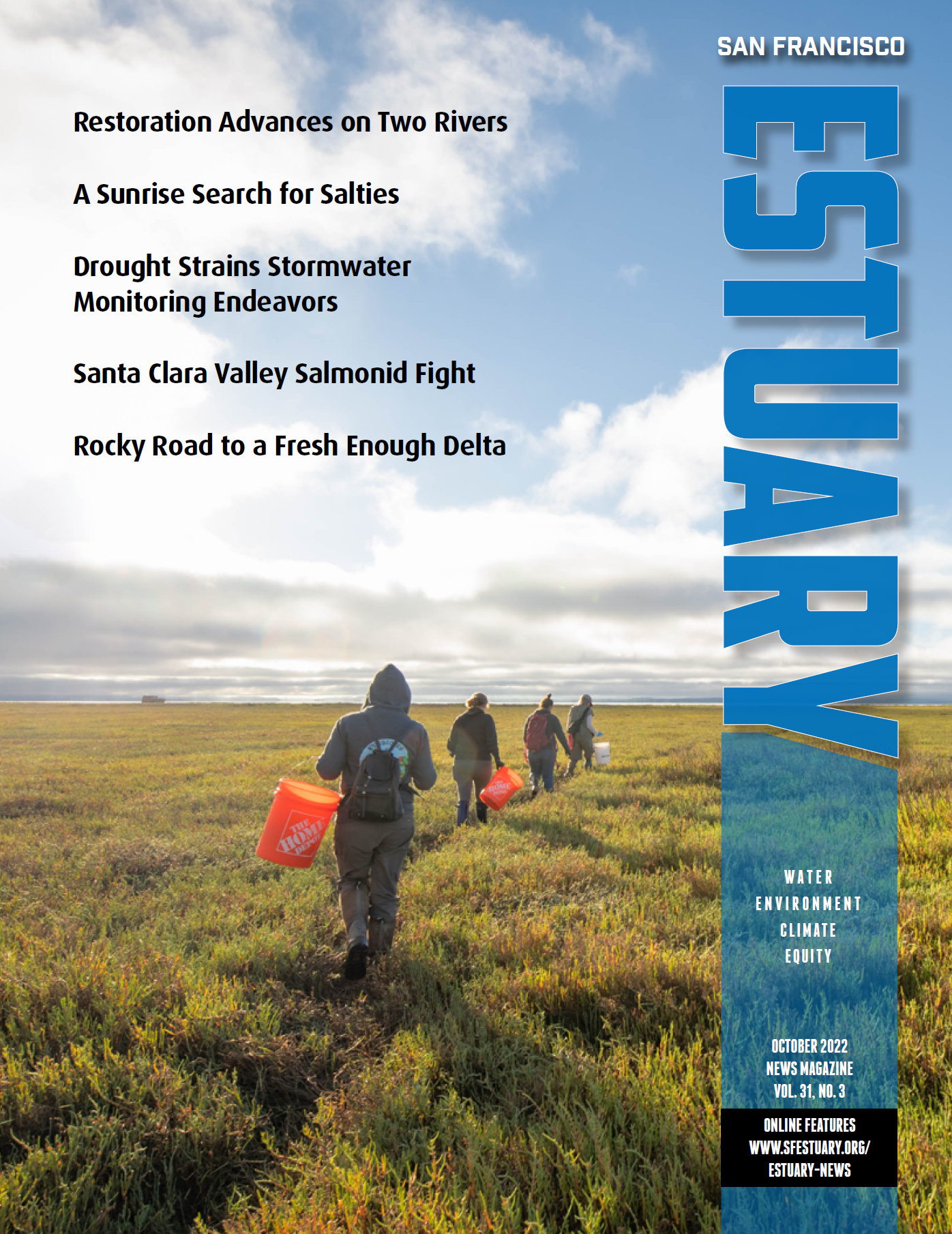